Osborn Ridge Running
Sunday, October 9, 2011
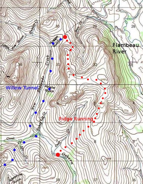
The blue dots are the Buster trail, which leads north to the start of the Ridge running we did -- in red dots.
This USGS map was produced by a "gtopo", a Linux software program by
Tom Trebisky. The map itself was further edited with "gimp" (like
Photoshop for Linux) which sized it, cropped it, added text and dots.
Copyright © 2011, Keith Andrews
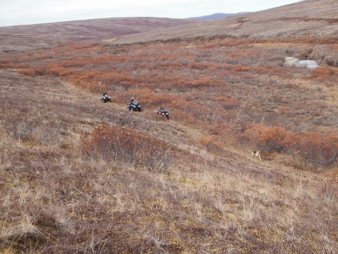
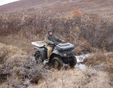
My German Shepherd, Sydney, leading three of the riders, Arnie Ashenfelter in the rear, Doctor Derek Leedy in the middle, and myself in front.
Keith is not in this picture: he is the photographer.
Copyright © 2011, Keith Andrews
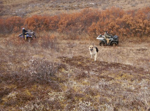
My Shepherd Sydney comes up to investigate Keith, the picture taker.
Copyright © 2011, Keith Andrews
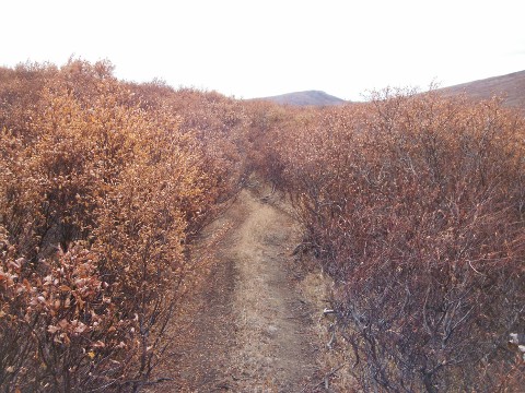
Endless miles of Willow tunnels like these are a highlight,
or perharps the curse, of the Buster trail.

Copyright © 2011, Keith Andrews
Keith Andrews, the photographer.
Copyright © 2011, Keith Andrews
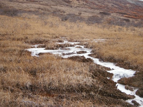
Frozen scapes. Cold up here in the mountains, even in early
October.
Copyright © 2011, Keith Andrews
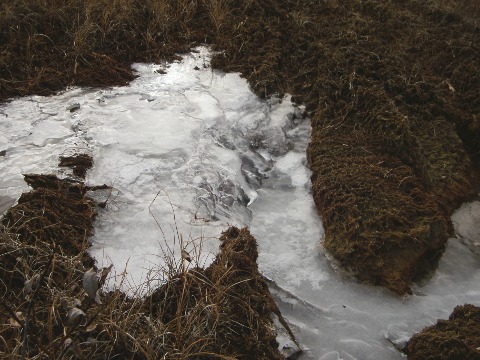
Motion frozen in time. Seven months before it moves again!
Copyright © 2011, Keith Andrews
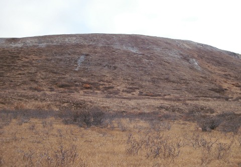
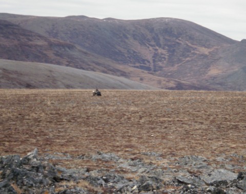
That's the ridge we want to go to! It overlooks the New
Eldorado Creek, the Willow Tunnels and ends up back in Osborn
creek.
Copyright © 2011, Keith Andrews
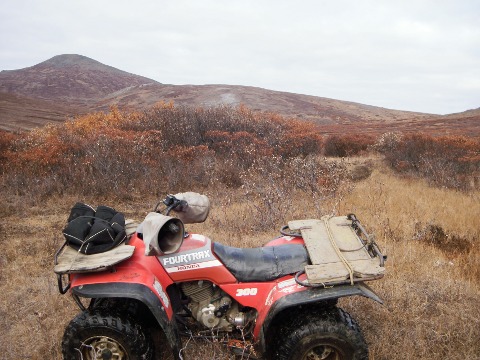
Keith's trusty 2-wheel drive Honda 300.
Copyright © 2011, Keith Andrews
Ramon crosses a little frozen rill.
Copyright © 2011, Keith Andrews
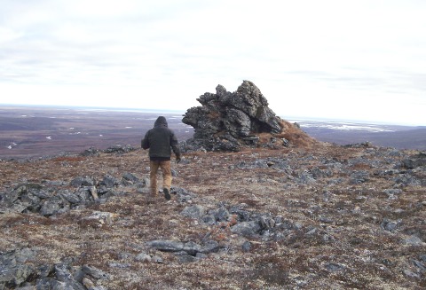
Up on the ridge, Arnie Ashenfelter investigates an interesting
rock formation. We later dubbed this "Alaska Rock" because it looks
like a map of Alaska, stuck into the ground sideways. Very distinctive.
From there you can look east and see the whole Flambeau River country.
This is "Hill 1270" on the map.
Copyright © 2011, Keith Andrews
Sometimes the going is rough! We skirted this rockpile.
Copyright © 2011, Keith Andrews
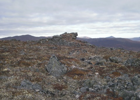
Up on top, one of us is ridge running. Glorious
riding indeed!
Copyright © 2011, Keith Andrews
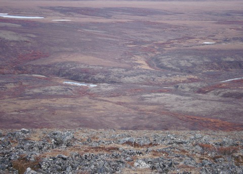
Looking down from the ridge. The plainly visible river is Osborn
Creek. Notice at the right of the picture it forks. That is
Cuss Creek (see map above). This picture is taken just as we were
starting the descent from the ridge to Osborn Creek.
Copyright © 2011, Keith Andrews
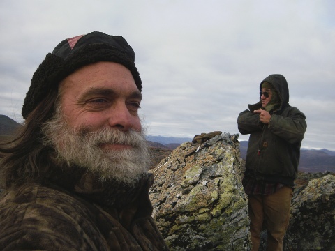
Arnie and Keith.
Copyright © 2011, Keith Andrews
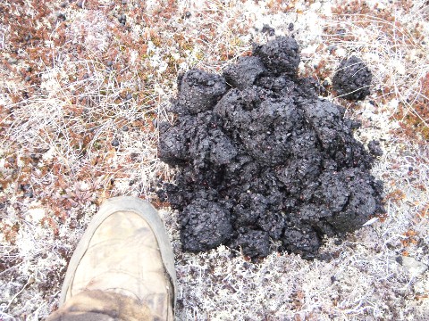
Bear sign. We saw a lot of these. This was sticky,
warm and steamy. But, we did not espy the bear.
Copyright © 2011, Keith Andrews
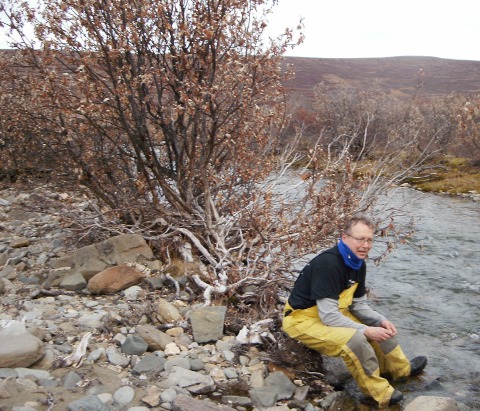
We descended from the ridge and came down on Osborn Creek.
Here is Dr. Leedy taking a well deserved rest.
This is at a lower elevation. The river is flowing, but the
ponds and sloughs are already covered with a thin layer of ice.
RETURN TO XALASKA.COM